Chișinău map
The capital of the Republic of Moldova on an interactive map: streets, house numbers where the data exists, satellite view and routing.
The map could not be loaded. Open the main map.
How to search for an address in Chișinău
On the main map type the street, then the house number if you know it. It works for boulevards (Ștefan cel Mare și Sfânt, Dacia, Decebal) and for smaller streets, within OpenStreetMap data.
If the result is only the locality, pick a row from the list or tap the map to see the approximate address.
Sectors
The Chișinău municipality has five administrative sectors. Search on the map does not require the sector, but it helps to know the area:
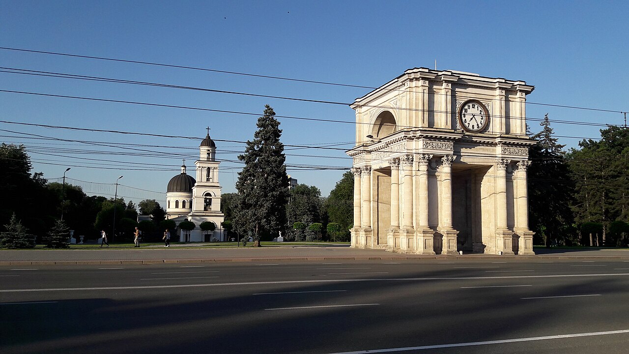
- Centru — historic centre, Ștefan cel Mare boulevard, Great National Assembly Square
- Buiucani — northwest, Alba Iulia, Ion Creangă
- Botanica — south, Dacia, Decebal, Valea Trandafirilor park
- Ciocana — east, Mircea cel Bătrân, industrial area
- Rîșcani — northeast, Kiev, Moscova, the Circus
Streets people search often
You can open the search directly for:
- Ștefan cel Mare
- Dacia blvd.
- Alba Iulia
- Decebal
- Grenoble
- Calea Ieșilor
- Moscova blvd.
- Mircea cel Bătrân
A route in the city
The Route button asks for point A and point B. You can put GPS on A if you are already in Chișinău, then the destination (a street or a tap on the map).
Frequently asked questions
How do I find a street in Chișinău?
Open the Chișinău map and type the street name, for example Ștefan cel Mare or Alba Iulia. If you know the house number, add it after the street name.
What sectors does Chișinău have?
The municipality is divided into five sectors: Centru, Buiucani, Botanica, Ciocana and Rîșcani.
Can I see shops and fuel stations in Chișinău?
Yes. Zoom to 14 or closer. Coloured points are OpenStreetMap places: shops, fuel stations, hair salons, restaurants and pharmacies.